随着热带风暴内斯特在墨西哥湾向东北移动,美国国家气象局(NWS)发布了佛罗里达州北部和中部大部分地区的龙卷风警报。
这警报将持续到东部时间下午12点适用于以下县:阿拉卡瓦、布拉德福德、布雷瓦德、夏洛特、柑橘、克莱、德索托、弗拉格勒、吉尔克里斯特、哈迪、埃尔南多、高地、希尔斯堡、莱克、李、利维、海牛、马里恩、奥兰治、奥西奥拉、帕斯科、皮内拉斯、波尔克、普特纳姆、萨拉索塔、塞米诺、圣约翰、萨特和沃罗西亚。
龙卷风观察意味着龙卷风可能发生在受影响地区及其附近,所以居民应该做好准备。
“回顾和讨论你的应急计划,检查供应品和你的安全室,”NWS建议。“如果发出警告或者你怀疑龙卷风正在逼近,请做好迅速行动的准备。及早行动有助于拯救生命!”
根据国家飓风中心(NHC)佛罗里达半岛北部和中部的中午可能会有几次龙卷风,今天晚些时候和今天晚上在乔治亚州和卡罗莱纳州的沿海地区可能会有几次。
热带风暴通常为龙卷风登陆时形成提供了完美的条件,尽管它们通常相对较弱且寿命较短。然而,这并不意味着它们不会对生命和财产构成威胁。
当内斯特接近陆地时,一些龙卷风已经发生了。周五晚上,佛罗里达州圣彼得堡附近形成龙卷风,摧毁了几所人造房屋。另一个在晚上晚些时候在州中心的莱克兰国际机场附近形成,扰乱了4号州际公路的交通,气象频道报道。
此外,NWS报告称,佛罗里达州西海岸北港西南约20英里处形成了水龙卷。

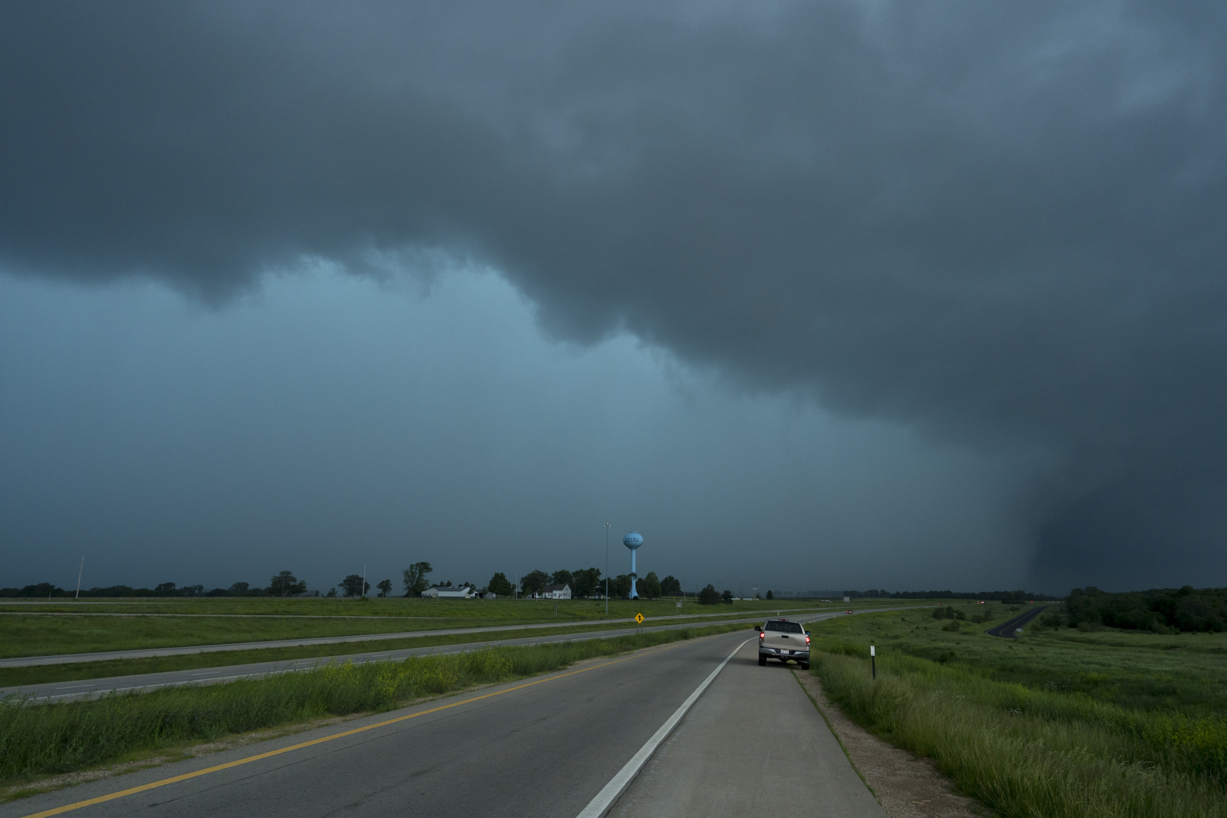
2019年5月28日,堪萨斯州劳伦斯,雨水遮住了龙卷风的视线。
NHC方面表示,内斯特将于今天早上在佛罗里达州潘汉德登陆,截至美国东部时间上午5点,风暴位于阿巴拉契科拉西南75英里处,正以每小时17英里的速度向东北移动,最大持续风速为每小时50英里。
根据NHC的说法,风和风暴潮将影响佛罗里达海湾的大部分地区,尽管风暴正逐渐失去其热带特征。它还会带来暴雨,伴随着风暴潮,可能会引发洪水。
“考虑到大部分对流转移到中心的东部,风暴的影响也将在佛罗里达半岛的大部分东部很好地感受到,周六会有大范围的阵雨和风暴,”NHC的一份声明说。
“从那里开始,预计它将向前加速运动,然后在周六晚上穿过美国东南部时变成热带后天气。根据声明,预计佛罗里达北部到弗吉尼亚州东南部将会有暴雨,空中总降雨量大约为2到4英寸,这可能会导致一些洪水问题。
TROPICAL STORM NESTOR: TORNADO WATCH ISSUED FOR MUCH OF NORTHERN AND CENTRAL FLORIDA
The National Weather Service (NWS) has issued a Tornado Watch alert for much of northern and central Florida as Tropical Storm Nestor moves northeastwards in the Gulf of Mexico.
The alert is in effect until 12 p.m. Eastern for the following counties: Alachua, Bradford, Brevard, Charlotte, Citrus, Clay, Desoto, Flagler, Gilchrist, Hardee, Hernando, Highlands, Hillsborough, Lake, Lee, Levy, Manatee, Marion, Orange, Osceola, Pasco, Pinellas, Polk, Putnam, Sarasota, Seminole, St. Johns, Sumter and Volusia.
A Tornado Watch means that tornadoes are possible in and near the affected areas, so residents should be prepared.
"Review and discuss your emergency plans and check supplies and your safe room," the NWS recommends. "Be ready to act quickly if a warning is issued or you suspect a tornado is approaching. Acting early helps to save lives!"
According to the National Hurricane Center (NHC,) a few tornadoes are possible through midday in the northern and central Florida Peninsula, and later today and this evening in coastal areas of Georgia and the Carolinas.
Tropical storms often provide the perfect conditions for tornadoes to form when they make landfall, although these are usually relatively weak and short-lived. However, this does not mean that they cannot pose a danger to life and property.
Some tornadoes have already occurred as Nestor approaches land. On Friday evening, a tornado formed near St. Petersburg, Florida, damaging several manufactured homes. Another formed later in the evening near Lakeland International Airport in the center of the state, disrupting traffic on Interstate 4, The Weather Channel reported.
Furthermore, the NWS reported that a waterspout had formed about 20 miles southwest of North Port on Florida's west coast.

Rain obscures the view of a tornado on May 28, 2019 in Lawrence, Kansas.
The NHC say that Nestor will make landfall over the Florida Panhandle this morning, The storm is located around 75 miles southwest of Apalachicola, as of 5 a.m. ET, and is moving northeastwards at 17 miles per hour, with maximum sustained wind speeds of 50 miles per hour.
According to the NHC, winds and storm surge will affect much of the Florida Gulf Coast, although the storm is gradually losing its tropical characteristics. It will also bring heavy rainfall, which, along with storm surges, could cause flooding.
"Given that much of the convection is displaced to the east of the center, the effects of the storm will also be experienced well to the east across much of the Florida Peninsula with widespread showers and storms on Saturday," an NHC statement said.
"From there it is expected to accelerate in forward motion and then become post tropical as it crosses the Southeast U.S. through Saturday night. Heavy rainfall is expected from northern Florida to southeast Virginia as a result, with aerial totals on the order of 2 to 4 inches likely that may lead to some flooding issues," according to the statement.


